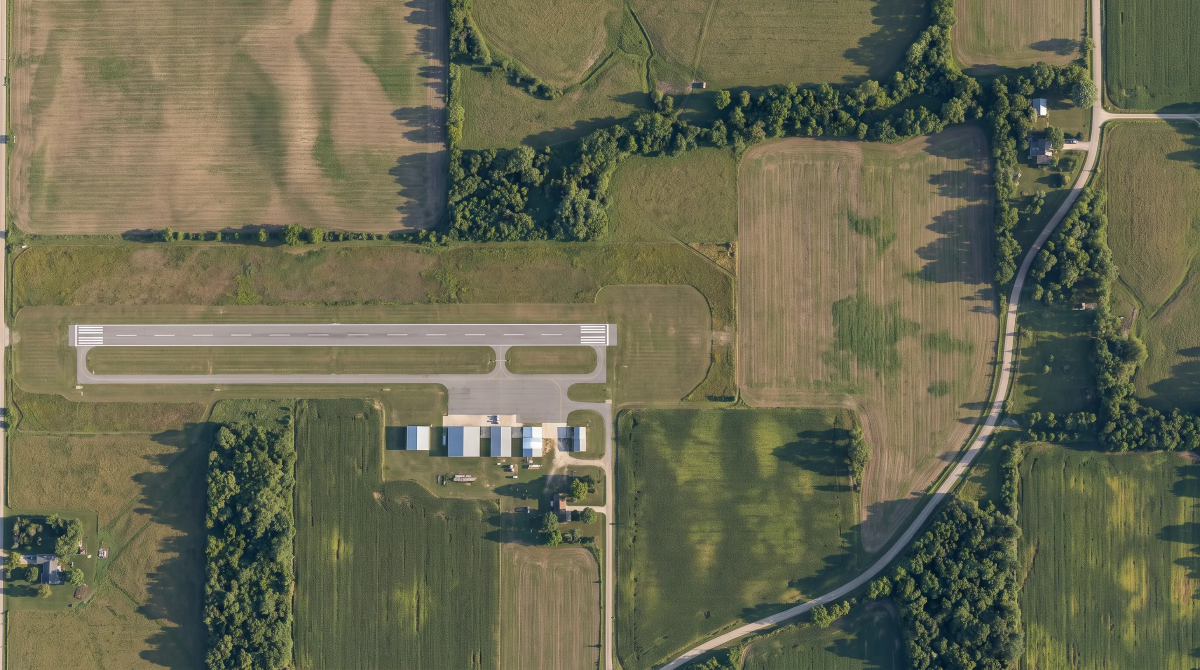
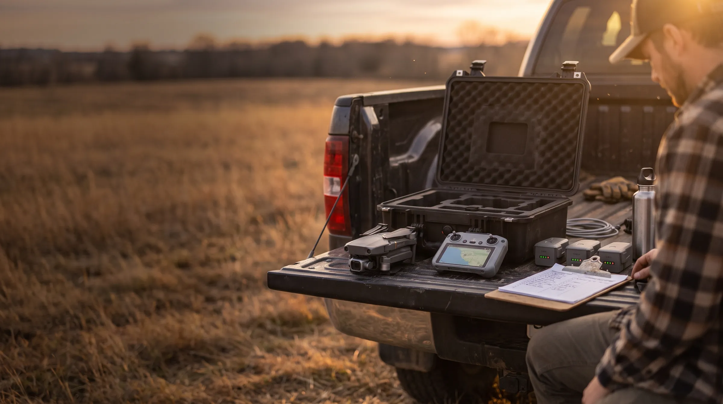
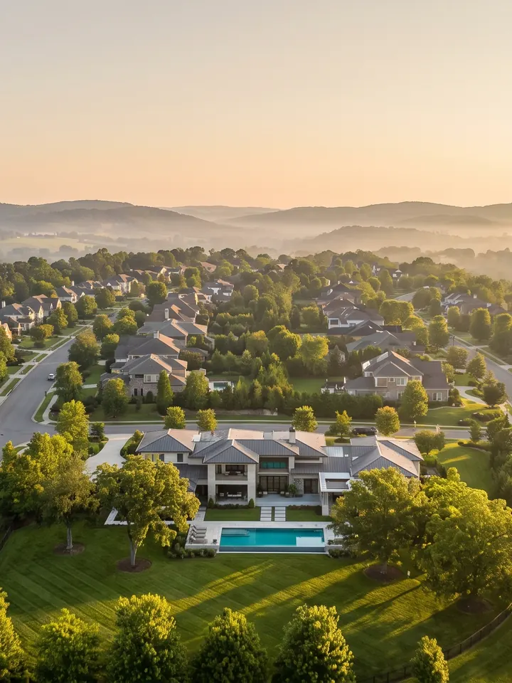
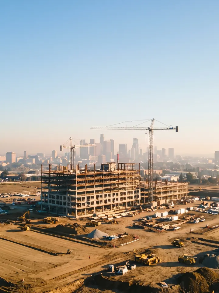
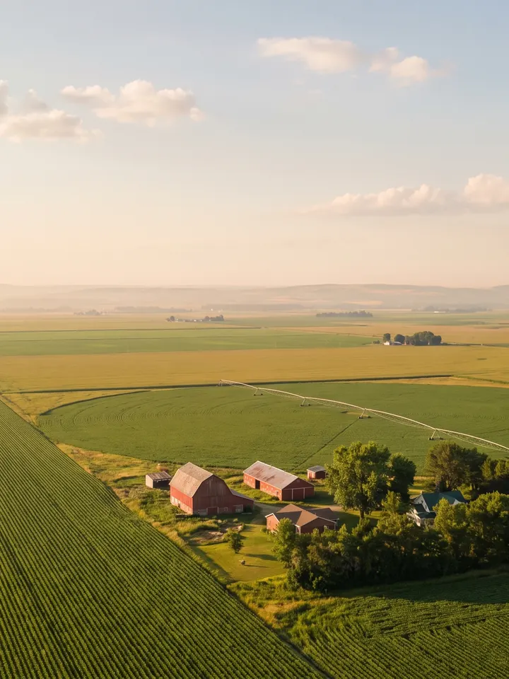
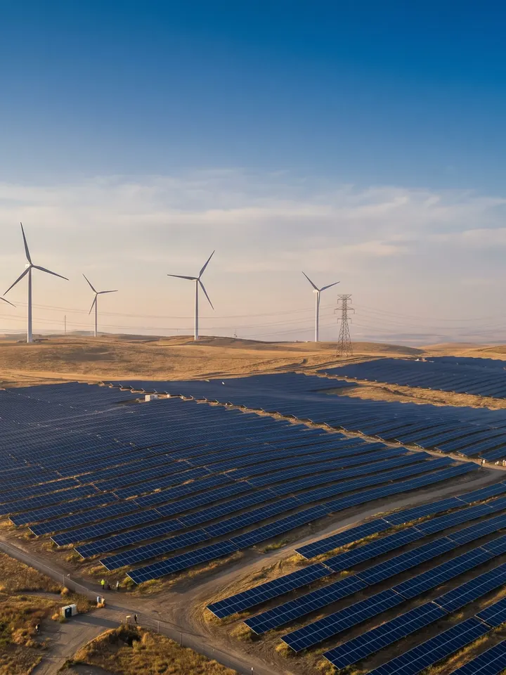
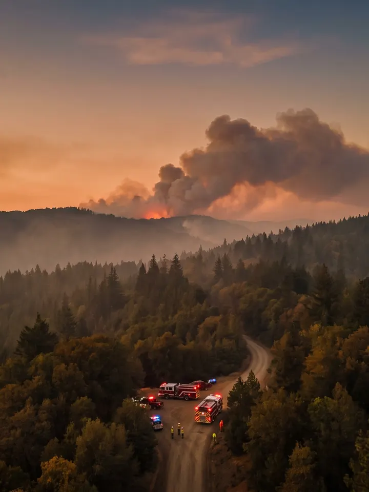
Real estateConstructionAgricultureEnergyFilm & eventsPublic safetyMapping
Operating limits
400 ft
Maximum altitude AGL, or up to 400 ft above a structure while within 400 ft of it
87 kt
Maximum groundspeed, which is 100 mph
<55 lb
Takeoff weight, including everything on board
Weather minimums
3 SM
Minimum flight visibility from your control station
500 ft
Below the clouds
2,000 ft
Horizontally from the clouds
Visual line of sight
VLOS
You or a visual observer must see the drone with your own eyes
VO
A visual observer helps, but the remote PIC is still responsible
1 : 1
One drone per pilot at a time unless waived
Night & twilight
3 SM
Anti-collision lighting visible for at least 3 statute miles
Twilight
The same lighting is required during civil twilight
Training
Night flight requires a test or recurrent training taken after April 6, 2021
Over people & vehicles
Cat 1
0.55 lb or less, with no exposed rotating parts that could cut skin
Cat 2 · 3
FAA-accepted declaration of compliance; injury limits of 11 and 25 ft-lb
Cat 4
An airworthiness certificate
Vehicles
No sustained flight over moving vehicles, except inside a closed or restricted-access site
Accident reporting
10 days
Report to the FAA within 10 calendar days if a flight causes serious injury, any loss of consciousness, or more than $500 of damage to property other than the drone.
Class G
No authorization needed
Uncontrolled airspace from the surface up to the Class E floor. Most Part 107 flying happens right here, below 400 ft.
Class E
No authorization above you
Controlled airspace that usually starts at 1,200 ft AGL, or at 700 ft AGL near airports (the magenta shading), and runs up to 17,999 ft MSL. Where it reaches the surface around an airport (dashed magenta), you need authorization.
Class D
Authorization required · LAANC
A towered airport. From the surface to about 2,500 ft above the airport, drawn as a dashed blue line on the chart.
Class C
Authorization required · LAANC
A busier airport. A 5 NM core from the surface and a 10 NM shelf from 1,200 ft, both up to 4,000 ft above the airport. Solid magenta on the chart.
Class B
Authorization required · LAANC
The busiest hubs. Tiers like an upside-down wedding cake, from the surface to 10,000 ft MSL. Solid blue on the chart.
Class A
Not a drone altitude
18,000 ft MSL up to FL600, for IFR traffic only. You'll never fly there, but the test asks where it starts.
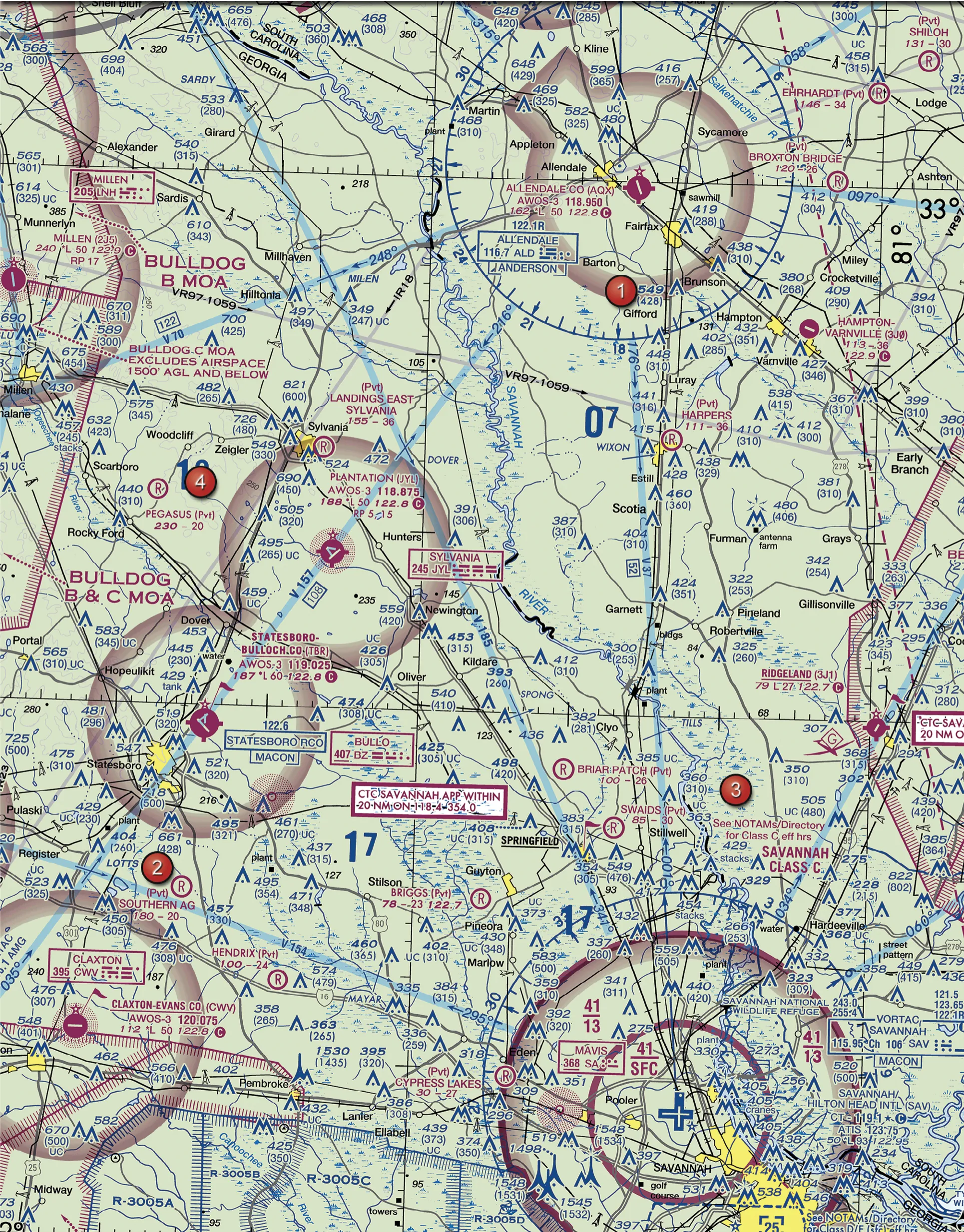
Airspace boundaries
Solid magenta is Class C, where 41/13 means 1,300 up to 4,100 ft MSL. Dashed blue is Class D. A fuzzy magenta band means Class E starts at 700 ft AGL; fuzzy blue means 1,200 ft AGL.
MSL vs. AGL
Chart altitudes are MSL, but your 400 ft limit is AGL. Subtract the ground elevation: Savannah sits at 50 ft, so its Class C floor of 1,300 ft MSL is about 1,250 ft AGL. The big 17 is a maximum elevation figure: 1,700 ft MSL clears everything in that quadrant.
Obstacles
821 (600): the bold number is the top of the tower in MSL, and the one in parentheses is its height above the ground. Lightning-bolt rays mean high-intensity lights.
Special use airspace
Bulldog MOA is military training airspace, so use caution. R-3005 is restricted: you need permission from the controlling agency when it's active. IR18 is a military training route flown under IFR; 3 or fewer digits means a segment above 1,500 ft AGL.
Airport data blocks
Plantation (JYL): AWOS-3 on 118.875, field elevation 188 ft, *L lighting limits, 5,000 ft longest runway, CTAF 122.8 Ⓒ, right traffic on runways 5 and 15. At Savannah, the ★ after CT – 119.1 means the tower is part-time.
Latitude & longitude
Grid lines run every 30 minutes, and each tick is 1 minute. The 33° and 81° labels mark 33°N, 81°W. Count ticks from the nearest line to place any point.
Density altitude
Aspen sits at 7,820 ft. Add 27 °C and the air is thin: less lift, less thrust and less battery time. High, hot and humid is the worst case.
Stable air
Stable air brings flat stratus, mist, smooth air and poor visibility. OVC008 is an 800 ft ceiling, because broken and overcast layers count and few and scattered don't.
Fog & dew point
Temperature 11, dew point 11. A zero spread means the air is saturated, and here it is fog. Radiation fog forms on clear, calm nights; advection fog forms when moist air moves over colder ground or water.
Thunderstorms
A storm needs moisture, unstable air and a lifting force. It grows through three stages: cumulus, mature and dissipating. Microburst downdrafts can reach 6,000 ft per minute. No-go.
DecoderHover or tap any group in the report.
Load factor in turns
1.00G load factor
+0%Stall speed
In a level 60° bank the wings carry 2 G, and stall speed rises with the square root of the load factor, about 41%. Drag the slider to try it.
Weight & center of gravity
Heavy
More weight means less climb, less endurance and a higher stall speed
Fwd CG
More stable, higher stall speed, heavier controls
Aft CG
Less stable, and stall recovery gets harder
Keep payloads secure and inside the manufacturer's weight and balance limits.
Runway numbers
A runway's number is its magnetic heading divided by 10. Runway 27 points about 270°, so the other end is Runway 09.
Traffic patterns
Pattern turns are to the left unless the chart says otherwise (like RP on a data block). The legs are departure, crosswind, downwind, base and final, with a 45° entry to midfield downwind.
Radio calls
What it meansHover or tap any part of the call.
Altitudes are read in thousands and hundreds ("one thousand five hundred") and headings as three digits ("two seven zero"). At a non-towered field, pilots self-announce on the CTAF; UNICOM is the airport's advisory frequency.
Hazardous attitudes
Hover or tap a card to see the FAA's antidote. This shows up on almost every test.
Not for you? Ask for a full refund within 30 days of purchase. From November 1, 2026 the course is $149. The FAA test fee (about $175) is paid to the testing center.
Part 107 test FAQQuick answers
How hard is the Part 107 test?
It has 60 scored multiple-choice questions plus 5 unscored ones, you get two hours, and you need 70% to pass. Most missed questions come from sectional charts, weather reports, and airspace.
How much does the Part 107 test cost?
Testing centers charge about $175 per attempt.
What's on the Part 107 exam?
Regulations, airspace and operating requirements, weather, loading and performance, and operations, including airport operations, radio, emergency procedures, and decision-making.
Is there a guarantee?
Yes. If the course isn't right for you, ask for a full refund within 30 days of purchase.
How do I get my certificate after I pass?
File FAA Form 8710-13 in IACRA with your 17-digit exam ID. After a TSA background check, you print a temporary certificate and can start flying commercially.
Does a Part 107 certificate expire?
No. To stay current you complete free online recurrent training every 24 calendar months.
How old do I have to be?
You can take the test at 14 and hold the certificate at 16.